Neasdon Engineering Depot
Client: London Underground Sector: Underground Location: Neasdon, West London
Project Challenge
London Underground commissioned Lanes Group’s Rail Division to carry out a survey of the roof structure of its engineering depot at Neasden, West London.
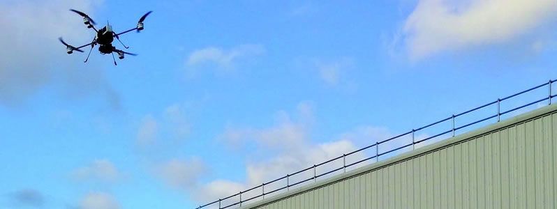
The building is 272 metres long and its roof has 844 panes of glass, making such a survey a significant challenge. To overcome access issues and to provide more sophisticated survey data, Lanes proposed carrying out the work using a remote-controlled drone. It would be one of the first drone surveys to be carried out on LU building assets.
Project Overview
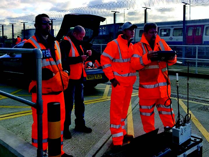
Lanes Group’s Rail Division teamed up with unmanned aerial systems company Unmanned Aerial Technology Ltd to carry out the drone survey.
A camera on the drone took 184 high definition images of the roof structure. These could then be manipulated in many different ways to help engineers view and analyse the structure and condition of the roof.
This included stitching all the images together to create a single digital image of the entire roof. A three dimensional point cloud image was also created so the roof could be viewed and measured from any angle.
The images and data were sent by Lanes to engineering consultants, who carried out the analysis and prepared a dilapidation survey report.
Experienced engineers viewed the images and could precisely mark and measure points of interest, including where repairs might be required.
In the future, another drone survey can be done, and the image software will be able to detect differences, which might indicate structural deterioration. This will speed up the process of re-assessing the roof’s condition.
For complex rail structures, such as bridges and viaducts, using drones to carry out surveys will result in significant cost savings, because access equipment such as scaffolding will not be required.
This approach represents a major step forward. Some parts of older rail buildings, going back to the Victorian era, are almost impossible to reach, so very difficult to assess and maintain. Using drones, that is no longer the case.
Lanes Group Achievements
- Reduced impact on the survey site, with less time spent on site, and no need for any change to work patterns
- Reduced costs, through no requirement for additional access equipment, such as temporary scaffolding, and a smaller survey team
- Overcomes significant access issues relating to rail infrastructure health and safety regulations (this is especially relevant for trackside surveys)
- A comprehensive set of data on the complete roof structure, from which a dilapidation report could be created
- Generation of advanced digital images for viewing and analysing the structure
- Allows faster and more sophisticated reviews of structural change when incorporating data from subsequent surveys.