UAV survey lands data and cost benefits for factory owner
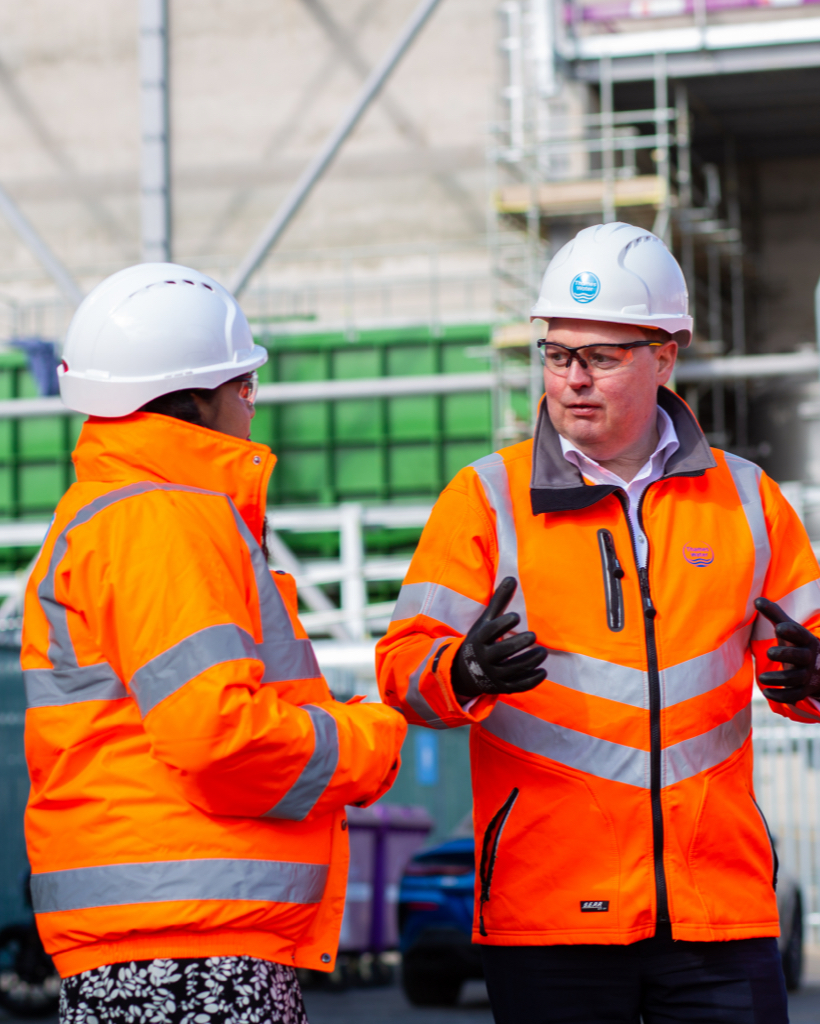
A drone survey carried out by Lanes Group plc is helping a major manufacturer investigate the drainage system on one of its sites in readiness for future development.
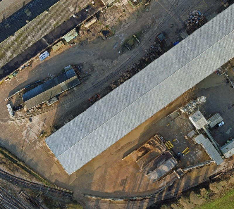
The unmanned aerial vehicle (UAV) survey provided a highly detailed digital map of the factory site near Peterborough, which engineers can use to plot drainage assets with impressive precision.
It was carried out by Lanes Group Rail (LGR), Lanes Group’s rail division, in just one day when a conventional ground-based survey would have taken up to four days.
Significant cost saving
LGR Business Development Manager Bill Waring said: “The aerial mapping surveys we carry out are fast becoming an essential element of site investigations across all sectors, including rail.
“In many cases, they can be carried out by a team of one, rather than the three or four operatives needed to work at height from ground level. It’s a significant cost saving, especially when time saved is factored in.
“Drone surveys also provide a hugely rich array of data that can be manipulated in many different ways to more accurately plot and understand the topography and built assets across large areas of land.
“They don’t just allow surveys to be carried out more quickly, more safely and with less site disruption. They also allow data then be prepared more quickly and more flexibly for analysis.”
Eliminates site disruption
LGR’s drone survey unit holds the required Civil Aviation Authority commercial operating permission and is on the drone survey framework for Network Rail.
Lanes drone pilot and surveyor Adam Blakesley carried out the survey of the factory site that manufactures ground engineering infrastructure assets.
He flew a DJI Matrice M300 drone fitted with the latest 4K video camera to capture all the required data across an area covering 68,000m2. Esri Site Scan software was then used to process the images captured.
Adam Blakesley said: “We can stitch together many thousands of images taken during the drone flight into highly accurate orthomosaic images of the site. We can also create 3D models and point cloud images.
“These allow clients to view structures in very close detail without having to work at height, which may involve working from access platforms or erecting even more costly and disruptive temporary scaffolding.
“The advantages can be even more pronounced on rail networks. With the right precautions in place, drones can be flown over live rail assets with no disruption to services, negating the need to carry out surveys during engineering possession time.”
Flexible data analysis
The data gathered can be combined with other mapping software to plot assets across large areas with a great degree of accuracy.
This include WinCan drainage survey software used by Lanes CCTV survey teams, allowing data captured via drones to be merged with digital maps of underground drainage systems.
LGR has more than 30 years’ experience of working in the rail industry on national rail and Transport for London networks, while Lanes subsidiary UKDN Waterflow (LG) holds a Principal Contractor Licence (PCL) from Network Rail.
The ability to deliver drone surveys adds significant value to LGR’s capabilities and services, which include: conventional CCTV drainage surveys; track drainage and culvert cleaning and replacement; drain, sewer, and culvert lining; and vegetation control.
It also complements engineering services provided to the rail industry by Lanes Professional Services. They include drainage system investigation and design, and hydraulic engineering project management.
Find out more
Talk to Lanes Group Rail about its drone survey service – for rail, commercial and industrial clients. Email: bill.waring@lanesgroup.co.uk. Telephone: 01708 528770.